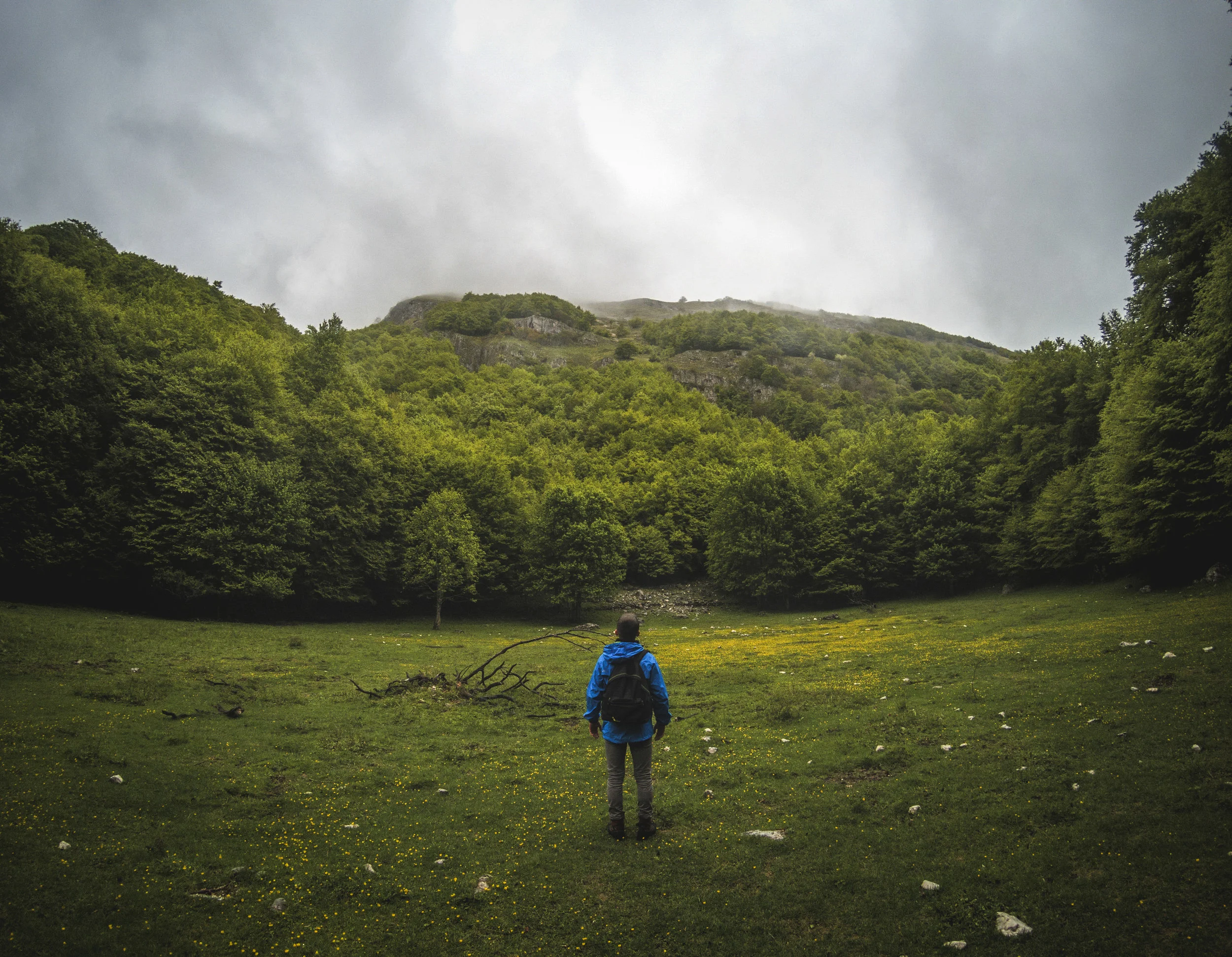
Outings
If you do not feel well, please stay home!
Click Here to download printable PDF of the rating charts.
OUTINGS RATING CHART
HIKING
Rating Level of effort Elevation gain Miles
A+ Very Strenuous 4000’+ 10+
A Strenuous 3000’+ 5-10
B+ Moderate/strenuous 2000’+ 5-10
B Moderate 1000’+ 5-10
B- Moderately easy <1000’ 5-8
C Easy <1000’ <5

CYCLING
Rating Miles Terrain
A 30+ Moderate to steep
B 15 - 30 Moderate
C < 15 Flat to moderate
PADDLING
Rating Miles Portages Water Class
A 12+ Long (.5+ mile) II Whitewater
B 6-12 Short (<.5 mile) I Moving
C < 6 None Flat

Paddling: Personal Flotation Devices (PFD) must be properly worn. Paddlers must have a USCG approved white light and pea-less whistle.
Minors under the age of 18 must be accompanied by a parent or legal guardian for any type outing.
IS THIS OUTING RIGHT FOR YOU?
Please take care to match your physical condition, abilities and limitations to the stated length and elevation gain of the outing you choose and refer to the ratings chart above. The “level of effort“ is not the same for everyone. If you are new to hiking or unconditioned, a hike listed as moderate would be very strenuous for you. The outing leader may ask questions in order to determine if you can complete the trip safely. Please cooperate for your safety and the safety of the group. It is your responsibility to have appropriate equipment and clothing for an outing. It is in your best interest to let someone know if you have limiting physical conditions or are taking a medication.
JULY
Wednesday, July 1: Berlin Mtn B
We will hike up (and back) on the Taconic Crest Trail from Petersburg Pass to Berlin Mtn, the highest mountain in NYS outside of the Catskills and Adirondacks. There are beautiful views of Mount Greylock and mountains to the east from the large, open summit of Berlin. Bring lunch, snacks, plenty of water, bug spray, poles if you use them.
The hike will be approximately 5.5 miles with 1300 feet ascent at a moderate pace.
Contact leader for meeting time and location.
Leader: Martha Waldman, email: martha829r@aol.com
Wednesday, July 8: Dill Brook Community Forest, Route 82, Petersburg, NY C+
There are two entrances and parking areas on Dill Brook Road, which connects NYS Route 2 with NYS Route 22. Use the entrance closest to Potter Hill Road. If you enter from Route 2, this will be the first parking area you reach.
Bring bug and tick repellent, appropriate clothing, water, snacks, and poles if you use them. We will likely stop for a snack or lunch break at the top of Potter Hill. Total distance is 4–5 miles, with more than 700 feet of elevation gain and loss.
Please read the terrain description: https://hudsontaconic.org/htl-preserves/dill-brook-community-forest/
Please contact leader to sign up.
Leader: Sharon Bonk, scbonk@gmail.com or 917-864-7437
Wednesday, July 15: Cherry Plain State Park & CDWMA B-
Although the hike starts in Cherry Plain State Park, most of the trails we will explore are in the adjacent Capital District Wildlife Management Area (CDWMA). From the parking lot inside the park, we will hike up the Charcoal Kiln Trail to the Charcoal Trail to the Canyon Trail, then down and back up on the picturesque Canyon Trail. We will do a partial return on the Charcoal Trail, but instead of hooking back up with the Charcoal Kiln Trail we will follow the Charcoal Trail over to Pesticide Shack Rd. We will bear right, hike down the road and return to the park on part of the North by Northwest Trail. And/or (depending on conditions) we will hike past the beach and take the old woods road along the lake to the dam. Bring plenty of water, snacks, lunch, sun and bug protection.
The hike will be about 6-7 miles, 700+ feet gain at a moderate pace.
Contact leader for meeting time and location.
Leader: Martha Waldman, email: martha829r@aol.com
Monday, July 20: Lanford Wood Community Forest, 90 Baertschi Road, Hoosic Falls
& White Lily Pond, GLSP C
This Hudson Taconic preserve (LWCF) is just off NY Route 7 on Rensselaer County Route 82. We will walk a 3.4-mile lollipop trail that ascends and descends through an overgrown farm field, into the forest, and up to the top of a hill, for a total elevation gain and loss of about 690 feet.
Afterward, we will drive south to Grafton State Park’s White Lily Pond for lunch by the pond. Bring a pad or seat for sitting during lunch. White Lily Pond parking is off Babcock Lake Road, about 0.4 miles from Route 2.
Bring bug and tick repellent, appropriate clothing, water, snacks or lunch, and poles if you use them.
Please contact leader to sign up.
Leader: Sharon Bonk, scbonk@gmail.com or 917-864-7437
Wednesday, July 22: Mountain Meadow Preserve, Williamstown B-
This Trustees of Reservations preserve, located along the border of Massachusetts and Vermont, has a combination of meadows and varied woods with most of the moderate elevation at the beginning of the hike.
There are many intersecting loop trails to choose from, and the plan is to hike about 5.5 miles and 700 feet of elevation gain at a moderate pace.
Please contact leader for meeting time and directions.
Leader: David Dutra, email: ddutra@nycap.rr.com